Table of Contents
LATITUDE, LONGITUDE, AND TIME ZONES
 |
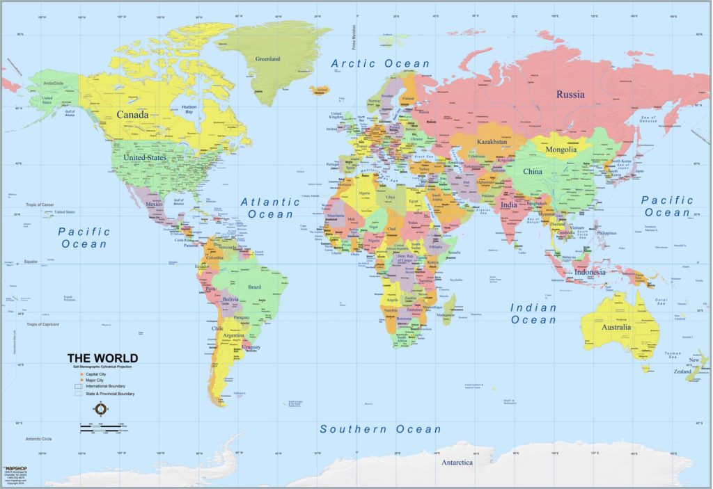
By Stacey Schuett, Somewhere in the World Right Now (Dragonfly Books, 1997) is a lovely picture-book introduction to time zones, beginning with a world map, and continuing on a round-the-world journey describing how as some people are asleep, others are going about their day. For ages 4-8. |
 |
Early navigators could measure latitude – that is, they knew where they were from north to south – but longitude was baffling. That is, until John Harrison invented a remarkable clock. Read all about it in Dava Sobel’s Longitude (Bloomsbury USA, 2007). For teens and adults. Also see the excellent movie version (2000) with Michael Gambon as John Harrison. From the Smithsonian, see The Longitude Problem. |
|
|
By Andrew K. Johnston et al., Time and Navigation: The Untold Story of Getting from Here to There (Smithsonian, 2019) is a companion book to an exhibit of the same name at the Smithsonian’s Air and Space Museum. The theme is the importance of time in navigation, in a history that runs from the early sea voyages to today’s global positioning satellites. A gorgeously illustrated book for teens and adults. |
COOL ATLASES
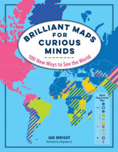 |
Ian Wright’s Brilliant Maps for Curious Minds (The Experiment, 2019) is a wonderful collection of 100 infographic maps that show the world in new and unexpected ways. Check out the world’s highest speed limits, populations of cats vs. dogs, the most photographed places in the world, the world’s largest islands, countries with the most venomous animals, and countries with the best chance of having a white Christmas. Fascinating for all ages. |
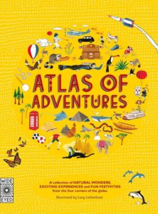 |
By Rachel Williams, Atlas of Adventures (Wide Eyed Editions, 2015) is a marvelously illustrated continent-by-continent tour of the world, listing natural wonders, signature events, and celebrations. Readers see the sights from the London Eye, raft down the Grand Canyon, cross the Sahara in a camel caravan, and visit the penguins in Antarctica. For ages 7-12. In the same format, see the Atlas of Animal Adventures (2016) and the Atlas of Ocean Adventures (2019). |
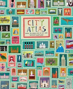 |
In Georgia Cherry’s City Atlas (Wide Eyed Editions, 2016), readers travel the world with 30 detailed city maps, crammed with catchy little pictures detailing landmarks, famous people, famous buildings, and cultural icons. Visit Toronto, New York City, Tokyo, Rio de Janeiro, Mexico City, and more. For ages 7-10. |
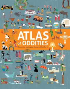 |
By Clive Gifford, Atlas of Oddities (Sterling Children’s Books, 2016) is a round-the-world illustrated tour, packed with memorable oddities, from Britain’s Crab Fair to Kathmandu’s Elephant Polo Championship to South America’s poisonous frogs. For ages 7 and up. |
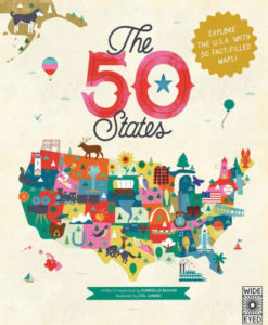 |
By Gabrielle Balkan, The 50 States is a collection of 51 illustrated fact-crammed infographic maps. For each state there’s a list of key facts, a timeline of important historical events, and notes about famous people, monuments, natural features, flora and fauna, and more. For ages 7-11. |
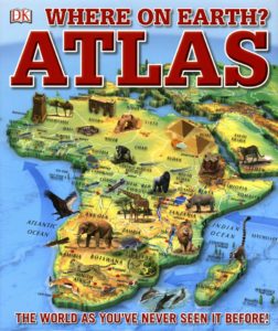 |
DK’s Where on Earth? Atlas (Dorling Kindersley, 2017) is a wonderful collection of 75 varied maps, beginning with the early Earth and the formation of the present continents, then touring the world’s continents and oceans. Filled with fascinating facts. For ages 8-12. |
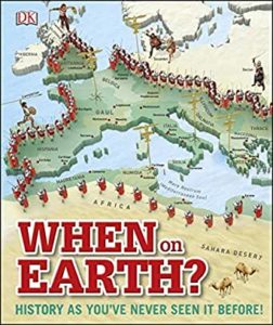 |
When on Earth? (Dorling Kindersley, 2015) is a map-laden overview of history from ancient times to the present. Great 3-D maps chart key historical events, such as the migrations of early humans out of Africa, the expansion of glaciers during the Ice Age, the discovery of agriculture, the spread of the Black Death, and the battle lines of World Wars I and II. For ages 8-12. |
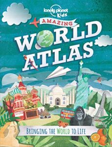 |
From Lonely Planet Kids, Amazing World Atlas (2014) is a tour of the world’s continents, crammed with photos, colorful diagrams, fact boxes, and illustrated maps. For ages 9-12. |
 |
By Joshua Foer et al., Atlas Obscura (Workman, 2019), subtitled “An Explorer’s Guide to the World’s Hidden Wonders,” is a phenomenal and fascinating read, packed with maps, photos, and marvels from around the world. Geography at its best. For teens and adults. Also see The Atlas Obscura Explorer’s Guide for the World’s Most Adventurous Kid (2018) and the Atlas Obscura website. |
 |
By Frank Jacobs, Strange Maps (Viking Studio, 2009) is an “an atlas of cartographic curiosities,” including “Ten States That Never Were,” “Europe If the Nazis Had Won,” and “United Shapes of America,” which is a collection of maps of the continental United States as drawn from memory by teenagers. (Try it and see what you get!) |