CARTOGRAPHY
 |
From National Geographic, see Mapping Storybooks for an activity linking popular picture books – among them Make Way for Ducklings, Rosie’s Walk, and Curious George Gets a Medal – to maps. Downloadable maps are available at the website, along with associated resources and suggested discussion questions. For ages 4-8. |
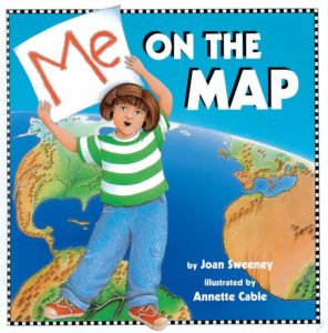 |
For ages 4-8, Joan Sweeney’s Me on the Map (Dragonfly Books, 2018) is a cheerful introduction to a child’s own “special place on the map,” as a little girl travels from home to street, town, state, country, and world (and back again.) For ages 3-8. Also see Neil Chesnow’s Where Do I Live? (BES, 1995), in similar format for the same age group, which moves from room to home to neighborhood – and eventually all the way to the Milky Way Galaxy. |
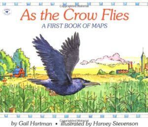 |
Gail Hartman’s As the Crow Flies (Aladdin, 1993) explains how people use road maps, then shows how a map might look to an eagle, a rabbit, a horse, a seagull, and a crow. For ages 3-8.
|
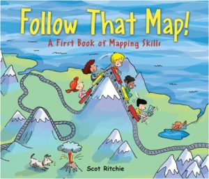 |
Scot Ritchie’s Follow That Map! (Kids Can Press, 2009) is a beginner’s guide to mapping skills. Sally and friends, in search of a pair of lost pets, follow a range of colorful maps, first from home to park to zoo, and then – imaginatively – around the world and into space. Basic map concepts are explained, and an included project shows kids how to make a map of their bedrooms on graph paper. For ages 4-8. |
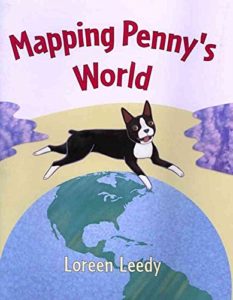 |
In Loreen Leedy’s Mapping Penny’s World (Square Fish, 2003), Lisa’s class is learning to make maps – so Lisa decides to map the world of her dog, Penny. Includes information about maps in general. For ages 5-8.
|
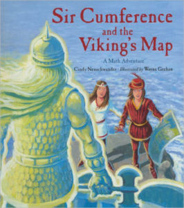 |
In Cindy Neuschwander’s picture-book math series, starring Sir Cumference, Lady Di of Ameter, and their son, Radius, Sir Cumference and the Viking’s Map (Charlesbridge, 2012) involves a treasure map and coordinate geometry. For ages 8-12.
|
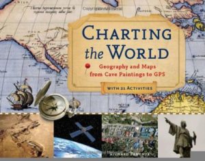 |
By Richard Panchyk, Charting the World (Chicago Review Press, 2011) is a history of maps and mapmaking, filled with maps and diagrams, a timeline, capsule biographies of navigators and explorers, and 21 hands-on activities, among them playing a compass navigation game and making a nautical chart. For ages 9 and up. |
|
From the Smithsonian, see From Ptolemy to GPS, the Brief History of Maps. |
|
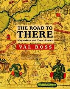 |
Val Ross’s prize-winning The Road to There (Tundra Books, 2009) is a catchy illustrated history of maps and mapmakers. Various chapters cover the Vinland Map, Cheng Ho, Henry the Navigator, Gerard Mercator, Captain Cook, mapping North America, mapping the ocean depths, and secret maps. For ages 9 and up.
|
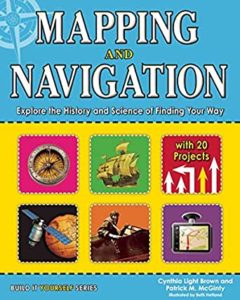 |
By Cynthia Light Brown and Patrick McGinty, Mapping and Navigation (Nomad Press, 2013), is an overview of the history and science of finding your way, with 20 hands-on projects. Chapters include “Ancient Maps,” “Explorers Cross the Seas,” “Mapping New Lands and New Skies,” “Oceans: The Least Known Surface on Earth,” and “Space: Navigating the Final Frontier.” For ages 9-12. |
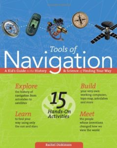 |
Rachel Dickinson’s Tools of Navigation (Nomad Press, 2005) is a 150+-page fact-packed history of how people get from here to there, starting with the Ice Age and ending with the age of GPS. The book is illustrated with maps, charts, period prints, and photos, and includes capsule biographies of famous people, “Words to Know” inserts, and 15 activities, among them making a compass, an astrolabe, a sky chart, and a map of your own backyard. For ages 10-14. |
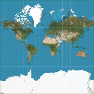 |
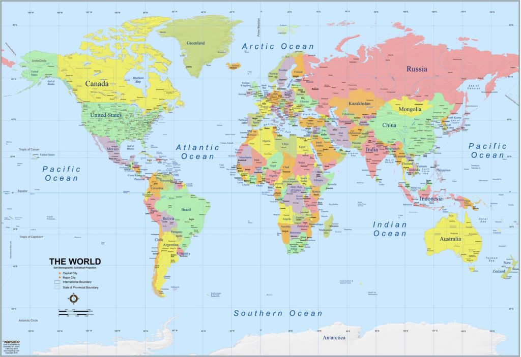
We all know the major problem with maps: the world is round, while paper is flat. This means that the various kinds of projections used by cartographers all come with disadvantages. The one most of us are familiar with, since it has been a standard of atlases for centuries, is the Mercator projection, which looks just fine near the equator, but becomes increasingly distorted the closer you get to the poles. Read all about the projection problem in The Mapmaker’s Conundrum (Tom McCarthy; New Yorker, June 2014). At Mercator Projections, this clever map shows the true sizes of countries. |
 |
Mark Monmonier’s How to Lie with Maps (University of Chicago Press, 2018) explains that even the best maps lie and discusses the ways in which cartographers – even though they may not mean to – distort and manipulate information. For teens and adults.
|
 |
Draw the world! Make your own maps! Kristin J. Draeger’s Draw the World (CreateSpace, 2017) teaches kids to draw a world map from memory, step by step, with lots of helpful hints along the way. Check out Draeger’s entire series, which includes Draw the USA, Draw Europe, Draw Africa (you start with the Red Sea, which looks like a slug), and more. For ages 9 and up. |
 |
The idea that any map can be colored using just four colors has been around for at least 150 years. But it’s been hard to prove. Read about The Four Color Theorem. (Try it! You’ll need a black-line map and colored pencils.) See The Four Color Theorem on You Tube.
|