With all the stories floating around about the disasters incurred by blindly following GPS – as in driving into lakes, up to the edge of cliffs, and down stairways into parks – some education in maps, map-reading, and geography seems like a good idea.
And it’s important that we get to know our worldwide neighbors.
See below for fiction and nonfiction books, projects and activities, games, fantasy and treasure maps, and some truly stunning and creative atlases.
From the National Council for Geographic Education, see this list of National Geography Standards.
Table of Contents
GENERAL GEOGRAPHY
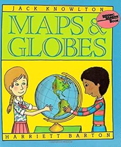 |
Jack Knowlton’s Maps and Globes (HarperCollins, 1986) – a Reading Rainbow book – is a simple picture-book introduction to geography for ages 4-8. Also by Knowlton, Geography from A to Z (HarperCollins, 1997) is a brightly illustrated geographical glossary from Archipelago to Zone. |
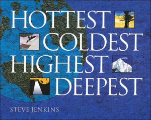 |
By Steve Jenkins, Hottest, Coldest, Highest, Deepest (Houghton Mifflin Harcourt, 2004) is an exploration of the natural world – the Earth’s deepest lake, longest river, highest mountain, most active volcano, and more – illustrated with paper collages and each accompanied by a map. Lots of opportunity for creative extensions here. (What’s the world’s second longest river? The third? Make a cool chart.) For ages 5 and up. |
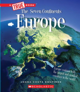 |
From Children’s Press, the True Books: Seven Continents series has a picture book for each of the seven continents, each illustrated with color photos and maps. For ages 6-9.
|
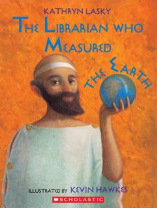 |
Kathryn Lasky’s The Librarian Who Measured the Earth (Little, Brown, 1994) is a picture-book biography of Eratosthenes, the Greek philosopher/geographer who first accurately measured the circumference of the Earth. For ages 6-10. How many famous geographers can you name? See 10 Notable Geographers. |
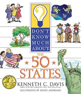 |
Kenneth C. Davis’s Don’t Know Much About the 50 States (HarperCollins, 2004) covers all of them in alphabetical order, with maps, background information, and clever (and memory-sticking) stories about each. Under Alabama, for example, readers learn why Alabama is nicknamed the Yellowhammer State, get the scoop on Space Camp and Rosa Parks, and find out that the name Alabama comes from a Choctaw word meaning “vegetarian gatherers.” For ages 6-12. |
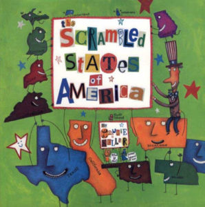 |
In Laurie Keller’s hilarious and delightful The Scrambled States of America (Henry Holt and Company, 2002), the states – shown as bright-colored state-shaped cartoon characters – are sick of staying in one place and decide to move around. (It all starts with Kansas, who grumbles to Nebraska, “All day long we just sit here in the middle of the country. We never GO anywhere.”) For ages 6-10. |
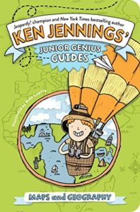 |
By Ken Jennings, Maps and Geography (Little Simon, 2014) is a fun and informative interactive read, as presented by Professor Jennings talking directly to his audience. (“Please rise, put your right index finger to your temple, and face this drawing of Albert Einstein. We will now say the Junior Genius Pledge.”) All the geographical basics, plus challenges and quiz questions, in a thoroughly enjoyable format. For ages 8-10. |
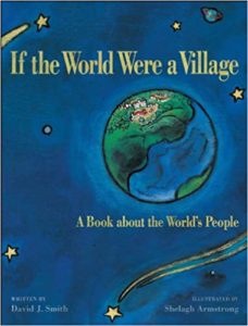 |
In David J. Smith’s If the World Were a Village (Kids Can Press, 2011), readers are asked to imagine the world as a village of 100 people. How many are children? How many speak Chinese? Thought-provoking and informative – with a nice link to math – for ages 8-12. Also, in the same format, see If America Were a Village (2009). |
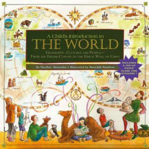 |
By Heather Alexander, A Child’s Introduction to the World (Black Dog & Leventhal, 2010) is an excellent overview of world geography and cultures. Included are the basics of geography, profiles of continents and countries, capsule biographies, fact boxes, and hands-on projects. For ages 9-12.
|
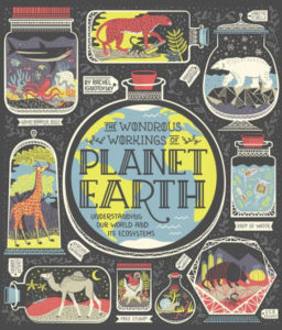 |
Rachel Ignotofsky’s The Wondrous Workings of Planet Earth (Ten Speed Press, 2018) is a gorgeously designed and illustrated overview of the Earth’s diverse ecosystems, including chapters on each continent, with colorful biome maps. A wonderful combination of biology, ecology, and geography. For ages 9 and up.
|
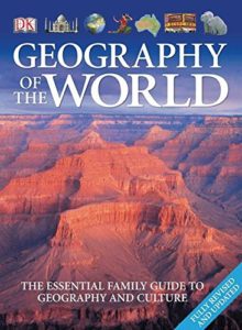 |
Dorling Kindersley’s Geography of the World (2006) is a gorgeously illustrated guide to world countries and cultures, filled with detailed maps, charts, diagrams, and color photos. Great general reference for ages 10 and up.
|
|
Think you know you maps? Tackle National Geographic’s Geography Bee! The GeoBee is open to private, public, or homeschooled kids in grades 4-8. The website has helpful resources; Mapmaker Interactive, an online mapping tool; a one-page map generator; and activities and practice quizzes.
|
|
|
From the USGS, Resources for Teachers has lesson plans, multimedia features, background info, and data sets, categorized by grade (K-2, 3-5, 6-8, 9-12, and college) and topic (Biology and Ecosystems, Geography, Geology, Global Change, Oceans and Coasts, and more). |
|
|
From the versatile Mr. Donn, see Geography Lesson Plans, Games, Activities, and Presentations. Categories include Map Skills, U.S. Geography, 7 Continents, Countries. The Poles, Mountains, Rivers, and more. Also see Mr. Donn’s 50 US States. |
|
|
Owl & Mouse Geography has free printable U.S. state maps (all of them), an online atlas, interactive maps and online map puzzles, and geography quizzes for a wide range of ages. |
|
|
From the Library of Congress, Geography and Maps has a list of lesson plans, categorized by age group. Titles include “Around the World in 1896,” “Local History: Mapping My Spot,” and “Waldseemuller’s Map: World 1507.” |
|
 |
From the Great Courses, Cultural and Human Geography is a 24-lecture series by Paul Robbins of the University of Wisconsin, Madison, beginning with “Writing the World: The Mapmakers Craft.” At full-price, these are expensive, but all go on sale periodically, at a fraction of list cost. For ages 13 and up. |
 |
From the New York Times, see All Over the Map: 10 Ways to Teach About Geography. Play Geography Bingo, read about the science of mental mapping, learn about the global supply chain, and more. For ages 13 and up. |
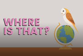 |
From Funbrain, Where Is That? is a fast-paced geography game in which kids identify states, countries, and capital cities on maps of the U.S., Africa, Asia, Europe, North and South America, and the world. Five levels of difficulty; recommended for grades 3-8. |
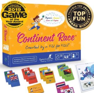 |
Continent Race is a fast-paced card game in which players race around the globe, trying to collect the most country cards from each continent first. Included are world and continent maps and 205 country cards. For two or more players, ages 7 and up.
|
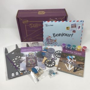 |
From KiwiCo, Atlas Crate is a subscription program in which kids get a monthly crate of projects, activities, recipes, and background information about a different country of the world. The Peru crate, for example, has materials for making your own fluffy alpaca, weaving a mini blanket and chullo hat, playing an ancient tossing game, creating your own Nazca Line art, making a batch of quinoa con leche, and playing music on a DIY antara flute. For ages 6-11. |
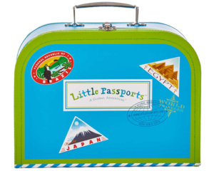 |
Little Passports is a subscription program in which kids, every month, get a packet of cool stuff representative of a different country, accompanied by a personalized letter from the globe-trotting Sofia and Sam. Packets contain souvenirs, photos, passport stamps, map markers, and hands-on projects and activities. Often included are traditional toys, craft projects, puzzles, music CDs, and postcards. Little Passports is available at several levels, among these Early Explorers (ages 3-5), World Editions (ages 6-10), and USA Edition (ages 7-12). |