
Geography
In this collection
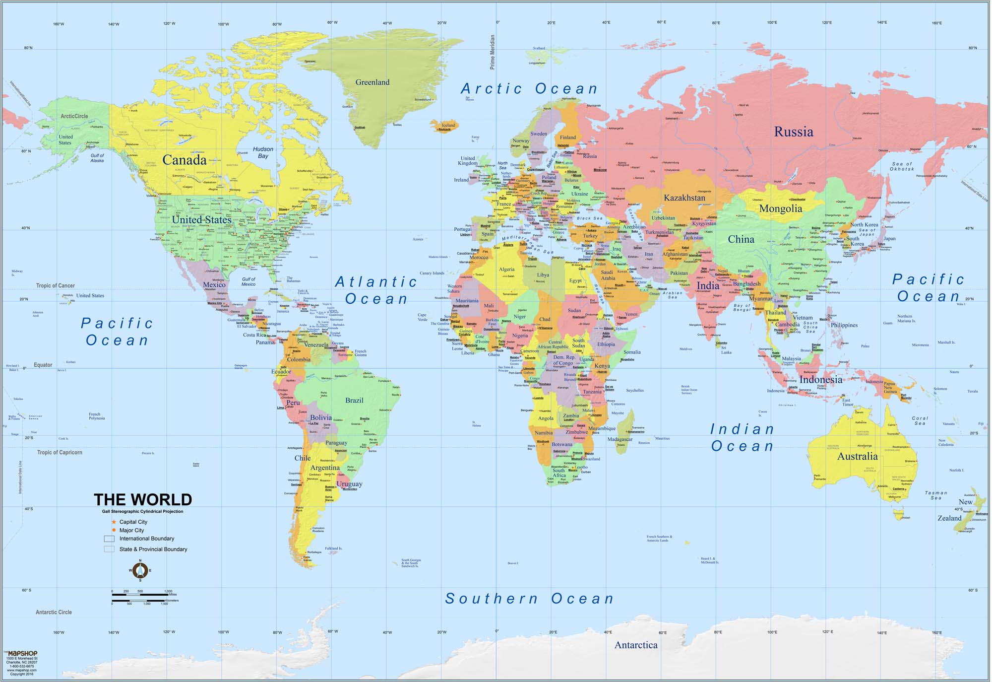
With all the stories floating around about the disasters incurred by blindly following GPS – as in driving into lakes, up to the edge of cliffs, and down stairways into parks – some education in maps, map-reading, and geography seems like a good idea.
And it’s important that we get to know our worldwide neighbors.
See below for fiction and nonfiction books, projects and activities, games, fantasy and treasure maps, and some truly stunning and creative atlases.
From the National Council for Geographic Education, see this list of National Geography Standards.
General Geography
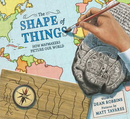
By Dean Robbins with illustrations by Matt Tavares, The Shape of Things (Knopf, 2024) is a picture-book history of mapmaking from prehistory to modern times. For ages 4-8.

Jack Knowlton’s Maps and Globes (HarperCollins, 1986) – a Reading Rainbow book – is a simple picture-book introduction to geography for ages 4-8.
Also by Knowlton, Geography from A to Z (HarperCollins, 1997) is a brightly illustrated geographical glossary from Archipelago to Zone.

By Steve Jenkins, Hottest, Coldest, Highest, Deepest (Houghton Mifflin Harcourt, 2004) is an exploration of the natural world – the Earth’s deepest lake, longest river, highest mountain, most active volcano, and more – illustrated with paper collages and each accompanied by a map. Lots of opportunity for creative extensions here. (What’s the world’s second longest river? The third? Make a cool chart.) For ages 5 and up.

Kathryn Lasky’s The Librarian Who Measured the Earth (Little, Brown, 1994) is a picture-book biography of Eratosthenes, the Greek philosopher/geographer who first accurately measured the circumference of the Earth. For ages 6-10.
How many famous geographers can you name? See 10 Notable Geographers.

Kenneth C. Davis’s Don’t Know Much About the 50 States (HarperCollins, 2004) covers all of them in alphabetical order, with maps, background information, and clever (and memory-sticking) stories about each. Under Alabama, for example, readers learn why Alabama is nicknamed the Yellowhammer State, get the scoop on Space Camp and Rosa Parks, and find out that the name Alabama comes from a Choctaw word meaning “vegetarian gatherers.” For ages 6-12.

In Laurie Keller’s hilarious and delightful The Scrambled States of America (Henry Holt and Company, 2002), the states – shown as bright-colored state-shaped cartoon characters – are sick of staying in one place and decide to move around. (It all starts with Kansas, who grumbles to Nebraska, “All day long we just sit here in the middle of the country. We never GO anywhere.”) For ages 6-10.

By Ken Jennings, Maps and Geography (Little Simon, 2014) is a fun and informative interactive read, as presented by Professor Jennings talking directly to his audience. (“Please rise, put your right index finger to your temple, and face this drawing of Albert Einstein. We will now say the Junior Genius Pledge.”) All the geographical basics, plus challenges and quiz questions, in a thoroughly enjoyable format. For ages 8-10.

In David J. Smith’s If the World Were a Village (Kids Can Press, 2011), readers are asked to imagine the world as a village of 100 people. How many are children? How many speak Chinese? Thought-provoking and informative – with a nice link to math - for ages 8-12.
Also, in the same format, see If America Were a Village (2009).

By Heather Alexander, A Child’s Introduction to the World (Black Dog & Leventhal, 2010) is an excellent overview of world geography and cultures. Included are the basics of geography, profiles of continents and countries, capsule biographies, fact boxes, and hands-on projects. For ages 9-12.

Rachel Ignotofsky’s The Wondrous Workings of Planet Earth (Ten Speed Press, 2018) is a gorgeously designed and illustrated overview of the Earth’s diverse ecosystems, including chapters on each continent, with colorful biome maps. A wonderful combination of biology, ecology, and geography. For ages 9 and up.
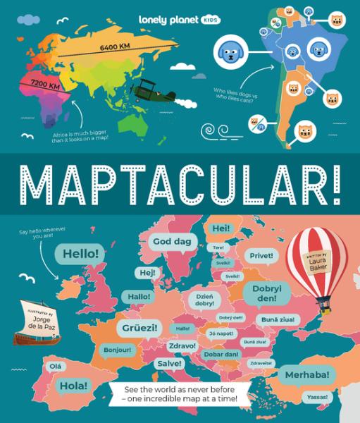
By Laura Baker, Maptacular (Lonely Planet, 2026) is a treasure trove of information, infographics, and unusual maps. Chapters include “Around the World,” “People & Passions,” “Nature & Animals,” “Transport,” “History & Exploration,” and “Information and Technology.” A terrific resource for ages 8-12.

Dorling Kindersley’s Geography of the World (2006) is a gorgeously illustrated guide to world countries and cultures, filled with detailed maps, charts, diagrams, and color photos. Great general reference for ages 10 and up.

Think you know you maps? Try tackling the International Geography Bee - a worldwide competition for primary and secondary students. To participate, kids need to take a (free) qualifying exam. For more info, see https://www.internationalgeographybee.com/ and click on the US.
From the USGS, Resources for Teachers has lesson plans, multimedia features, background info, and data sets, categorized by grade (K-2, 3-5, 6-8, 9-12, and college) and topic (Biology and Ecosystems, Geography, Geology, Global Change, Oceans and Coasts, and more).
From the versatile Mr. Donn, see Geography Lesson Plans, Games, Activities, and Presentations. Categories include Map Skills, U.S. Geography, 7 Continents, Countries. The Poles, Mountains, Rivers, and more.
Also see Mr. Donn’s 50 US States.
Owl & Mouse Geography has free printable U.S. state maps (all of them), an online atlas, interactive maps and online map puzzles, and geography quizzes for a wide range of ages.
Classroom Materials at the Library of Congress, see Geography and Maps at https://blogs.loc.gov/teachers/category/geography-and-maps/.

From the Great Courses, Understanding Cultural and Human Geography is a 24-lecture series by Paul Robbins of the University of Wisconsin, Madison, beginning with “Writing the World: The Mapmakers Craft.” At full-price, these are expensive, but all go on sale periodically, at a fraction of list cost. For ages 13 and up. See
https://shop.thegreatcourses.com/understanding-cultural-and-human-geography.

From the New York Times, see All Over the Map: 10 Ways to Teach About Geography. Play Geography Bingo, read about the science of mental mapping, learn about the global supply chain, and more. For ages 13 and up.

From Funbrain, Where Is That? is a fast-paced geography game in which kids identify states, countries, and capital cities on maps of the U.S., Africa, Asia, Europe, North and South America, and the world. Five levels of difficulty; recommended for grades 3-8.


From KiwiCo, Atlas Crate is a subscription program in which kids get a monthly crate of projects, activities, recipes, and background information about a different country of the world. The Peru crate, for example, has materials for making your own fluffy alpaca, weaving a mini blanket and chullo hat, playing an ancient tossing game, creating your own Nazca Line art, making a batch of quinoa con leche, and playing music on a DIY antara flute. For ages 6-11.

Little Passports is a subscription program in which kids, every month, get a packet of cool stuff representative of a different country, accompanied by a personalized letter from the globe-trotting Sofia and Sam. Packets contain souvenirs, photos, passport stamps, map markers, and hands-on projects and activities. Often included are traditional toys, craft projects, puzzles, music CDs, and postcards. Little Passports is available at several levels, among these Early Explorers (ages 3-5), World Editions (ages 6-10), and USA Edition (ages 7-12).
MANY MAPS

From National Geographic, see Mapping the Storybooks for an activity linking popular picture books – among them Make Way for Ducklings, Rosie’s Walk, and Curious George Gets a Medal – to maps. Included is an online Mapmaker and book-by-book instructions.For ages 4-8.
See https://education.nationalgeographic.org/resource/mapping-the-storybooks/ or
http://www.collaborativelearning.org/mappingstorybooks.pdf.

For ages 4-8, Joan Sweeney’s Me on the Map (Dragonfly Books, 2018) is a cheerful introduction to a child’s own “special place on the map,” as a little girl travels from home to street, town, state, country, and world (and back again.) For ages 3-8.
Also see Neil Chesnow’s Where Do I Live? (BES, 1995), in similar format for the same age group, which moves from room to home to neighborhood – and eventually all the way to the Milky Way Galaxy.

Gail Hartman’s As the Crow Flies (Aladdin, 1993) explains how people use road maps, then shows how a map might look to an eagle, a rabbit, a horse, a seagull, and a crow. For ages 3-8.

Scot Ritchie’s Follow That Map! (Kids Can Press, 2009) is a beginner’s guide to mapping skills. Sally and friends, in search of a pair of lost pets, follow a range of colorful maps, first from home to park to zoo, and then – imaginatively – around the world and into space. Basic map concepts are explained, and an included project shows kids how to make a map of their bedrooms on graph paper. For ages 4-8.

In Loreen Leedy’s Mapping Penny’s World (Square Fish, 2003), Lisa’s class is learning to make maps – so Lisa decides to map the world of her dog, Penny. Includes information about maps in general. For ages 5-8.
In Deborah Hopkinson’s Evidence! How Dr. John Snow Solved the Mystery of Cholera (Knopf, 2024), set in 19th-century London, a deadly disease was spreading – and it took Dr. John Snow, asking questions, collecting data, and making maps, to discover its source. A true story of the power of science (and maps) to save lives for ages 4-8.
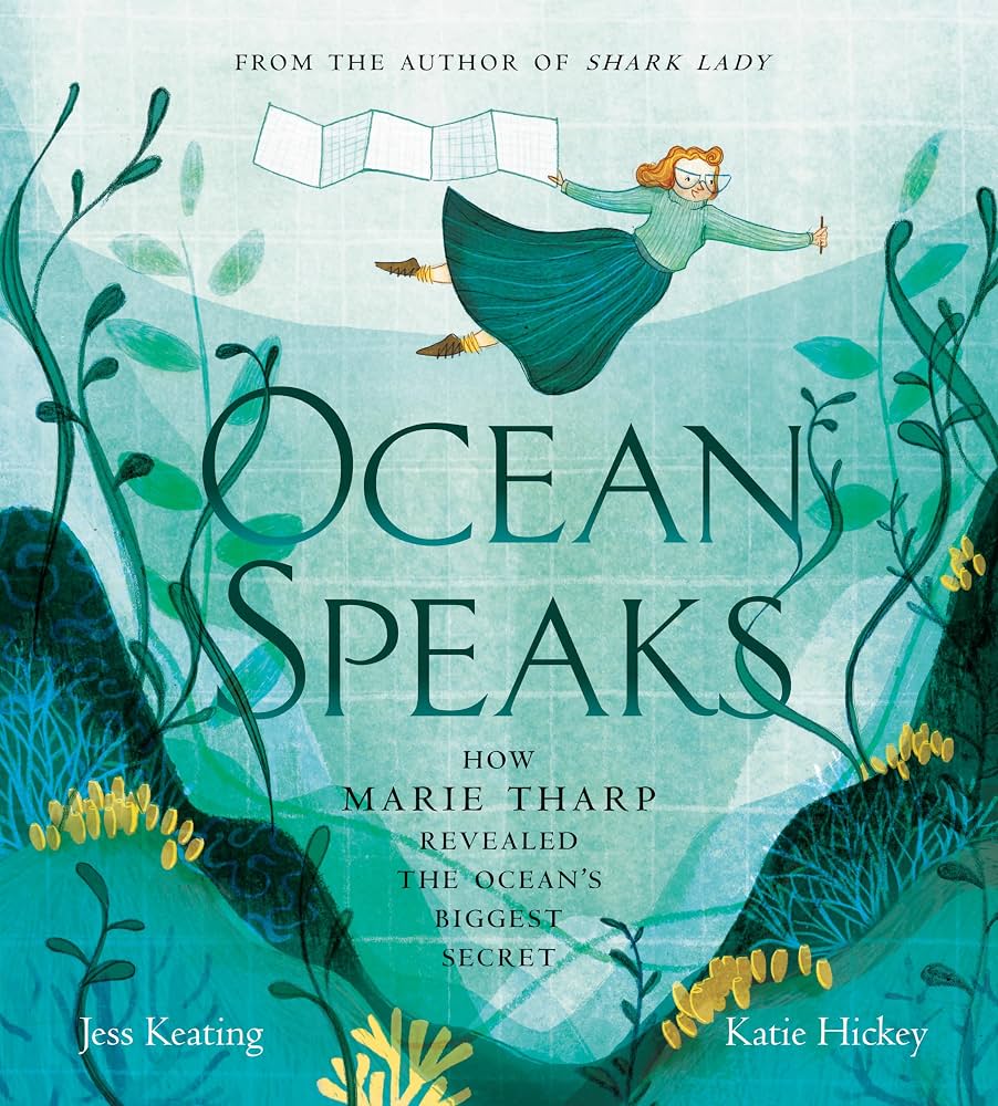
By Jess Keating, Ocean Speaks (Tundra Books, 2020) is the picture-book story of Marie Tharp, the first person to map the mountains under the sea. For ages 4-8.
Also see Robert Burleigh’s Solving the Puzzle Under the Sea (Paula Wiseman/Beach Lane Books, 2016) for ages 6-9.

In Cindy Neuschwander’s picture-book math series, starring Sir Cumference, Lady Di of Ameter, and their son, Radius, Sir Cumference and the Viking’s Map (Charlesbridge, 2012) involves a treasure map and coordinate geometry. For ages 8-12.
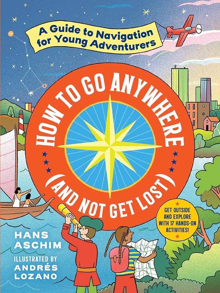
By Hans Aschim, How to Go Anywhere (and Not Get Lost) (Workman, 2021) is an interactive account of how explorers have found their way around the world from ancient navigators to the present day. Readers learn about everything from loggerhead turtle travels to Polynesians and the stars, the invention of the compass, and the dawn of GPS. Included are 17 hands-on activities. (Try telling direction by the trees, building a sextant, and making a compass.) For ages 7-11.
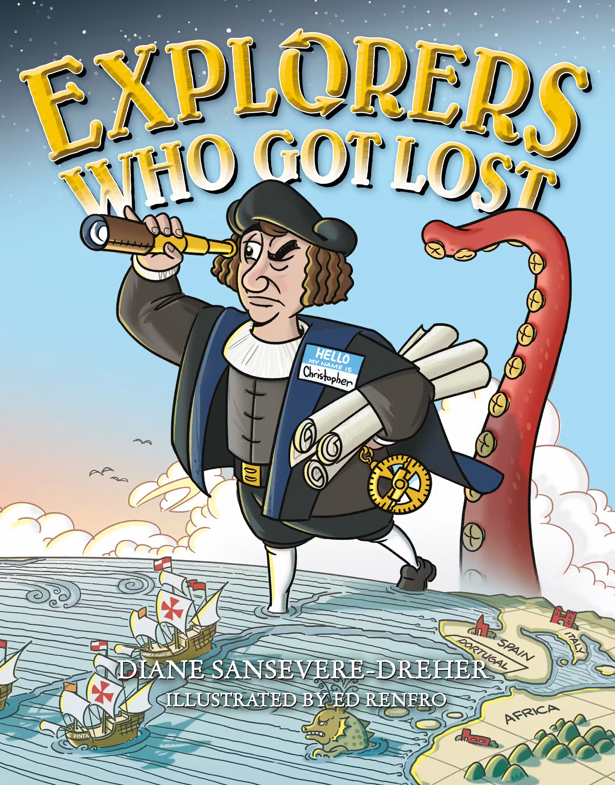
By Diane Sansevere-Dreher, Explorers Who Got Lost (Starscape, 2016) is the story of the many early explorers who got lost and ended up in places they never expected – among them Christopher Columbus, Vasco da Gama, Ferdinand Magellan, Henry Hudson, and more. Illustrated with cartoons. For ages 8-12.

By Richard Panchyk, Charting the World (Chicago Review Press, 2011) is a history of maps and mapmaking, filled with maps and diagrams, a timeline, capsule biographies of navigators and explorers, and 21 hands-on activities, among them playing a compass navigation game and making a nautical chart. For ages 9 and up.
From the Smithsonian, see From Ptolemy to GPS, the Brief History of Maps.

Val Ross’s prize-winning The Road to There (Tundra Books, 2009) is a catchy illustrated history of maps and mapmakers. Various chapters cover the Vinland Map, Cheng Ho, Henry the Navigator, Gerard Mercator, Captain Cook, mapping North America, mapping the ocean depths, and secret maps. For ages 9 and up.

By Cynthia Light Brown and Patrick McGinty, Mapping and Navigation (Nomad Press, 2013), is an overview of the history and science of finding your way, with 20 hands-on projects. Chapters include “Ancient Maps,” “Explorers Cross the Seas,” “Mapping New Lands and New Skies,” “Oceans: The Least Known Surface on Earth,” and “Space: Navigating the Final Frontier.” For ages 9-12.

Rachel Dickinson’s Tools of Navigation (Nomad Press, 2005) is a 150+-page fact-packed history of how people get from here to there, starting with the Ice Age and ending with the age of GPS. The book is illustrated with maps, charts, period prints, and photos, and includes capsule biographies of famous people, “Words to Know” inserts, and 15 activities, among them making a compass, an astrolabe, a sky chart, and a map of your own backyard. For ages 10-14.
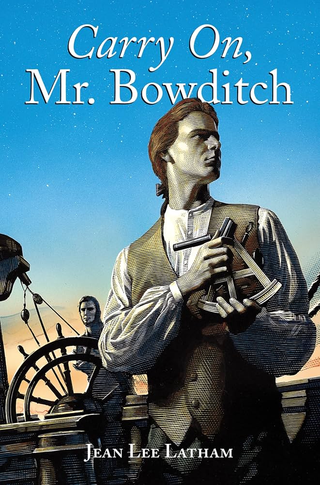
Jean Lee Latham’s Carry On, Mr. Bowditch (Clarion, 2003) – a Newbery Medal winner – is the story of Nathaniel Bowditch, the self-taught 18th-century American navigator and mathematician who became famous for his lifesaving book The American Practical Navigator – nicknamed the Sailors’ Bible. For ages 10 and up.

We all know the major problem with maps: the world is round, while paper is flat. This means that the various kinds of projections used by cartographers all come with disadvantages. The one most of us are familiar with, since it has been a standard of atlases for centuries, is the Mercator projection, which looks just fine near the equator, but becomes increasingly distorted the closer you get to the poles. Read all about the projection problem in The Mapmaker’s Conundrum (Tom McCarthy; New Yorker, June 2014).
At Mercator Projections, this clever map shows the true sizes of countries.

Mark Monmonier’s How to Lie with Maps (University of Chicago Press, 2018) explains that even the best maps lie and discusses the ways in which cartographers – even though they may not mean to – distort and manipulate information. For teens and adults.

Draw the world! Make your own maps! Kristin J. Draeger’s Draw the World (CreateSpace, 2017) teaches kids to draw a world map from memory, step by step, with lots of helpful hints along the way.
Check out Draeger’s entire series, which includes Draw the USA, Draw Europe, Draw Africa (you start with the Red Sea, which looks like a slug), and more. For ages 9 and up.

The idea that any map can be colored using just four colors has been around for at least 150 years. But it’s been hard to prove. Read about The Four Color Theorem. (Try it! You’ll need a black-line map and colored pencils.)
See The Four Color Theorem on You Tube.
Latitude, Longitude, and Time Zones

By Stacey Schuett, Somewhere in the World Right Now (Dragonfly Books, 1997) is a lovely picture-book introduction to time zones, beginning with a world map, and continuing on a round-the-world journey describing how as some people are asleep, others are going about their day. For ages 4-8.
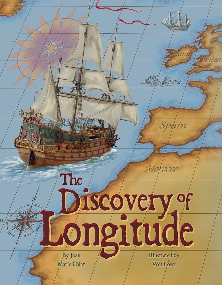
By Joan Marie Galat, The Discovery of Longitude (Pelican Publishing, 2012) is the story of 18th-century carpenter and clockmaker John Harrison who solved the problem of longitude with his ingenious clock. For ages 5-8.
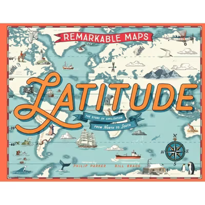
By Philip Parker, Remarkable Maps: Latitude (Magic Cat, 2026) is a remarkable story of the world from north to south, creatively designed with maps, fact boxes, and illustrations. The world tour begins in the Arctic (Latitudes 90o to 66o33’ North) with map inserts on North Pole explorers, the aurora borealis, the origin of the name “arctic,” reindeer herding, words for snow, and more. A great pick for ages 7-10.

Early navigators could measure latitude – that is, they knew where they were from north to south – but longitude was baffling. That is, until John Harrison invented a remarkable clock. Read all about it in Dava Sobel’s Longitude (Bloomsbury USA, 2007). For teens and adults.
Also see the excellent movie version (2000) with Michael Gambon as John Harrison.
From the Smithsonian, see The Longitude Problem.

By Andrew K. Johnston et al., Time and Navigation: The Untold Story of Getting from Here to There (Smithsonian, 2019) is a companion book to an exhibit of the same name at the Smithsonian’s Air and Space Museum. The theme is the importance of time in navigation, in a history that runs from the early sea voyages to today’s global positioning satellites. A gorgeously illustrated book for teens and adults.
COOL ATLASES

Ian Wright’s Brilliant Maps for Curious Minds (The Experiment, 2019) is a wonderful collection of 100 infographic maps that show the world in new and unexpected ways. Check out the world’s highest speed limits, populations of cats vs. dogs, the most photographed places in the world, the world’s largest islands, countries with the most venomous animals, and countries with the best chance of having a white Christmas. Fascinating for all ages.
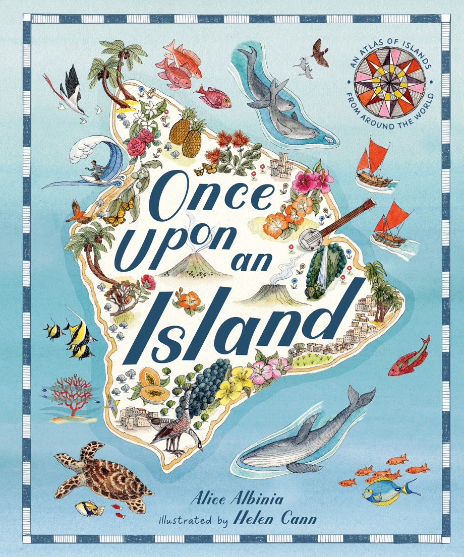
Alice Albinia’s gorgeously illustrated Once Upon an Island (Magic Cat, 2026) covers 20 world islands from Scotland’s Orkney and Canada’s Baffin Island to New Zealand’s Waiheke and the floating forest ecosystems of Brazil’s Amazon River Islands. Each comes with a description and dozens of fascinating facts. For ages 7-10.
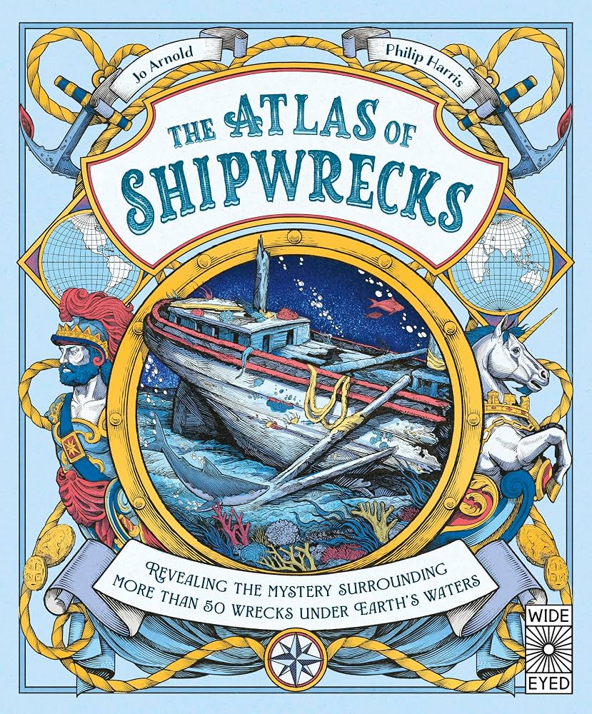
Who wouldn’t want to find a shipwreck? Jo Arnold’s superbly illustrated The Atlas of Shipwrecks (Wide-Eyed Editions, 2026) covers marine exploration and 50 different wrecks from around the world with accounts of their resting places and discoveries. (Find the remains of the Spanish treasure fleets.) For ages 7-10.

By Rachel Williams, Atlas of Adventures (Wide Eyed Editions, 2015) is a marvelously illustrated continent-by-continent tour of the world, listing natural wonders, signature events, and celebrations. Readers see the sights from the London Eye, raft down the Grand Canyon, cross the Sahara in a camel caravan, and visit the penguins in Antarctica. For ages 7-12.
In the same format, see the Atlas of Animal Adventures (2016) and the Atlas of Ocean Adventures (2019).

DK’s Where on Earth? Atlas (Dorling Kindersley, 2017) is a wonderful collection of 75 varied maps, beginning with the early Earth and the formation of the present continents, then touring the world’s continents and oceans. Filled with fascinating facts. For ages 8-12.

When on Earth? (Dorling Kindersley, 2015) is a map-laden overview of history from ancient times to the present. Great 3-D maps chart key historical events, such as the migrations of early humans out of Africa, the expansion of glaciers during the Ice Age, the discovery of agriculture, the spread of the Black Death, and the battle lines of World Wars I and II. For ages 8-12.

From Lonely Planet Kids, Amazing World Atlas (2014) is a tour of the world’s continents, crammed with photos, colorful diagrams, fact boxes, and illustrated maps. For ages 9-12.

By Joshua Foer et al., Atlas Obscura (Workman, 2019), subtitled “An Explorer’s Guide to the World’s Hidden Wonders,” is a phenomenal and fascinating read, packed with maps, photos, and marvels from around the world. Geography at its best. For teens and adults.
Also see The Atlas Obscura Explorer’s Guide for the World’s Most Adventurous Kid (2018) and the Atlas Obscura website.

By Frank Jacobs, Strange Maps (Viking Studio, 2009) is an “an atlas of cartographic curiosities,” including “Ten States That Never Were,” “Europe If the Nazis Had Won,” and “United Shapes of America,” which is a collection of maps of the continental United States as drawn from memory by teenagers. (Try it and see what you get!)
Fantasy Maps

B.G. Hennessy’s Once Upon a Time Map Book (Candlewick, 2010), gorgeously illustrated by Peter Joyce, is a collection of six detailed maps of fairytale kingdoms, among them Neverland, Oz, Wonderland, and the Giant’s kingdom on top of Jack’s beanstalk. For ages 4 and up.

See these images of the 10 Best Maps in Fantasy Books. (Make some of your own!)

In Ruth Stiles Gannett’s short chapter book My Father’s Dragon (Dover, 2014), Elmer Elevator – with a backpack filled with everything from lollipops to rubber bands – sets out to rescue a baby dragon on Wild Island. The book includes a wonderful picture map of Tangerina and Wild Island. For ages 5-9.
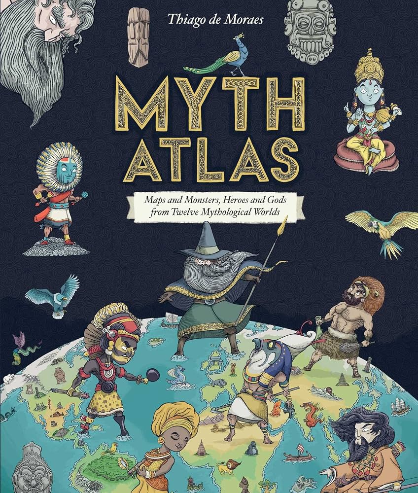
By Thiago de Moraes, Myth Atlas (Blueprint Editions, 2019) has picture maps of monsters, heroes, and gods from twelve mythological worlds, among them those of the Greeks, Egyptians, Norse, Aztecs, and Polynesians. For ages 7-10.

In Sandra Lawrence’s The Atlas of Monsters (Running Press Kids, 2019), a collection of old maps, made by an intrepid 15th-century explorer, purports to show the locations of all the world’s mythical creatures. Gorgeous illustrations, a continent-by-continent guide to magical creatures, and a mysterious code to crack combine to make this a great read for ages 7-12.

By S.S. Taylor, in The Expeditioners and the Treasure of Drowned Man’s Canyon (Harlow Brook Books, 2019) – the first of a series – the premise is that there are many undiscovered places in the world. Kit’s father, a famed Explorer of the Realm, is missing, so Kit and siblings Zander and M.K. set off to find him, following the clues on a mysterious half of a map. A terrific steampunk-ish adventure (with maps) for ages 8-12.

By Carrie Ryan and John Parke Davis, in The Map to Everywhere (Little, Brown, 2015), 12-year-old Fin, an orphan, is a Master Thief, with a strange magical trait – no one can remember that he exists. Then he meets Marrill from Arizona, who has stumbled into his world via the Pirate Stream, the magical waterway that connects every world in creation. Together these two end up in a race to find all the pieces of the Map to Everywhere, scattered across many worlds – but they’re not the only one who want the map. The first of an exciting series for ages 8-12.
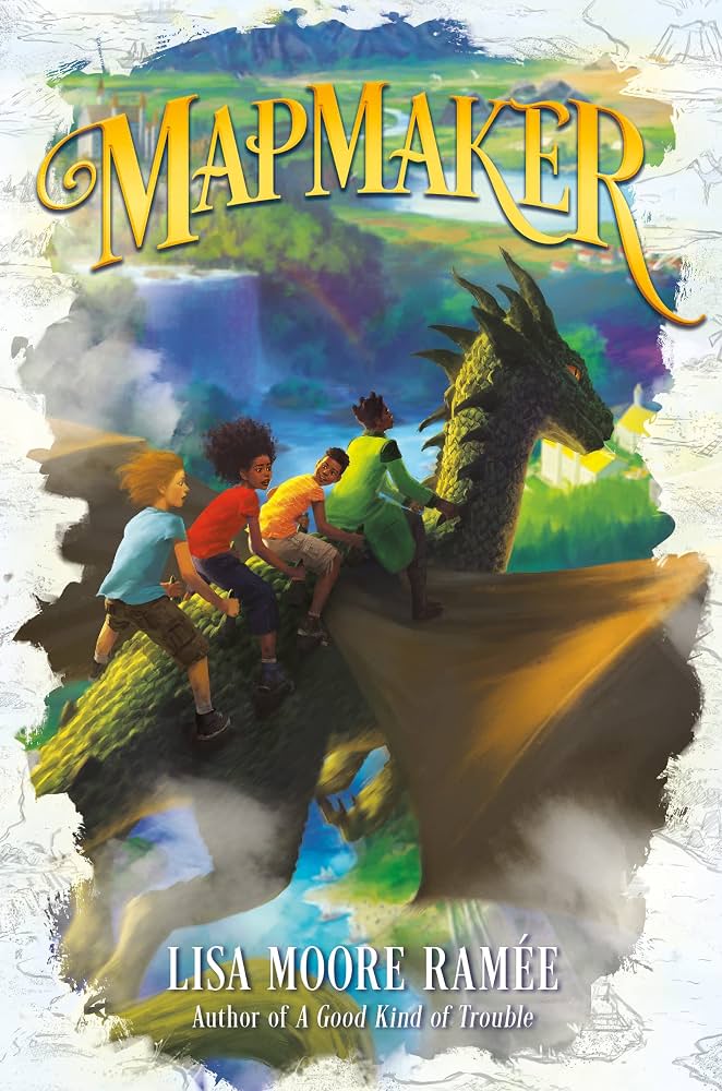
In Lisa Moore Ramee’s Mapmaker (HarperCollins, 2023), Walt – who loves making fantasy maps of his invented world, Djaruba – discovers that he has the ability to make maps come to life. Things turn dangerous, however, when Walt and friends end up stranded in Djaruba – and there’s a malevolent mapmaker on the loose who seems bent on destroying the world. For ages 8-12.

By A.L. Tait, The Mapmaker Chronicles (Kane Miller Books/EDC Publishing, 2018) is a middle-grade fantasy series about a race to map the world. Fourteen-year-old Quinn has always been content at home on the farm until he’s found to have a special talent for mapmaking – which lands him on board a ship in the midst of an adventure that involves sword fights, monsters, and stowaways. Titles include Race to the End of the World, Prisoner of the Black Hawk, Breath of the Dragon, and Beyond the Edge of the World. For ages 9-12.

“I solemnly swear that I am up to no good.” For Potter fans, check out the

Dungeons and Dragons, a fantasy role-playing game introduced in 1974 and now published by Wizards of the Coast, not only involves wizards, warriors, elves, dwarves, clerics, and a lot of polyhedral dice, but great maps. We started playing this when our kids were of early-elementary-school age and they loved it – it had lots of scope for the imagination, plus all the fun features of a cooperative choose-your-own-adventure book. A good starting point is the
See Maps & Map Tools for D&D.

In Minecraft, a creative and ever-popular series of video games, players explore blocky 3-D worlds and build any number of structures. There are also zombies, lava, snow, and wolves. And maps! Generally recommended for ages 10 and up.
Adventurous Maps with Trains

By Eirlys Hunter, in The Mapmakers’ Race (Gecko Press, 2018) the Santander family is planning to restore the family fortunes by winning the Great Mapmakers Race, a competition to map the best route for a new railway line. Their father, an explorer, is missing, however, and their mother is left behind at a train station – which leaves Sal, Francie, Joe, and Humphrey to compete in the race by themselves. A great adventure with a little bit of magic for ages 8-12.

In
Geography in Picture Books

By Pat Hutchins, in Rosie’s Walk (Aladdin, 1971), Rosie – an oblivious chicken – sets out for a walk, stalked all the way by a fox who encounters pitfall after pitfall as Rosie walks across the yard, around the pond, over the haystack, past the windmill, through the fence, and under the beehives. For ages 3-8.
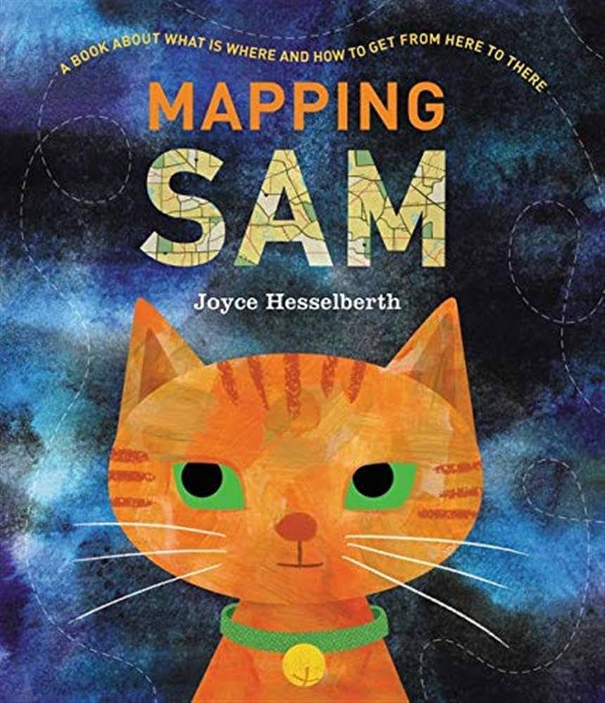
In Joyce Hesselberth’s Mapping Sam (Greenwillow, 2021), a little orange cat sneaks out to explore the neighborhood at night – an expedition that leads her farther and farther away from home. An adventure paired with many kinds of maps for ages 4-8.
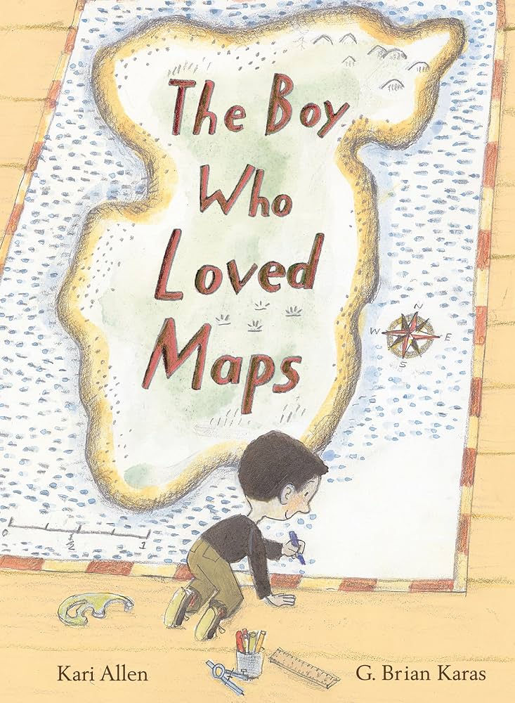
In Kari Allen’s The Boy Who Loved Maps (Anne Schwarz Books, 2022), the Mapmaker loves collecting, studying, and especially making maps – but he’s boggled when a little girl asks for a map of a “perfect place.” For ages 4-8.

In David Elliot’s Henry’s Map (Philomel Books, 2013), Henry – a very organized pig whose mantra is “A place for everything and everything in its place” – sets out to draw a map of his home farm. For ages 4-8.
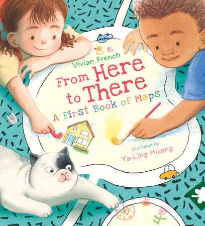
Vivian French's From Here to There (Candlewick, 2023) is a first book of map skills – beginning when Anna’s friend Zane sends her an invitation to come play and includes a map. Illustrated with charming child-friendly maps that will encourage kids to try making some of their own. For ages 4-8.
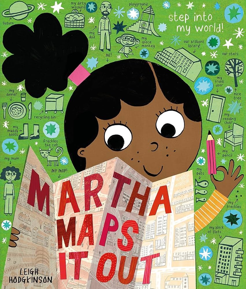
By Leigh Hodgkinson, Martha Maps It Out (Kane Miller, 2022) travels from the universe to the solar system, the continents, the city, an apartment building, an apartment, and a bedroom – all with charming illustrations and little notes. There’s even a map of Martha’s thoughts. For ages 4-8.

In Jeff Brown’s original Flat Stanley (HarperCollins, 2013), a bulletin board squashes Stanley flat, such that he can be rolled up like a rug, flown like a kite, or even stuffed in an envelope and mailed.
This last led to the popular Flat Stanley Project, in which kids make their own versions of Stanley and send him as a visitor to a school, friend, family member, author, or other person of interest. The recipient mails him back along with some journal notes, photos, and souvenirs such as postcards. Track your Stanley on the map!

Uri Shulevitz’s How I Learned Geography (Farrar, Straus & Giroux, 2008) is the story of a boy (based on the author himself) who fled with his parents from Poland to Turkestan (Kazakhstan) in 1939. There his father comes home one day, not with much-needed food, but with an immense map – which soon becomes a family treasure and a way to travel imaginatively to distant lands. For ages 7-10.
From the Brooklyn Public Library, see Book Talk: Maps in Children's Books at https://www.bklynlibrary.org/blog/2020/07/07/book-talk-maps-childrens.
From the Guardian: If a picture tells a thousand words, then does a map tell a million? See From Middle Earth to Hundred Acre Wood: Putting Fiction on the Map at https://www.theguardian.com/childrens-books-site/2015/nov/11/putting-childrens-literature-on-the-map-young-adult.
Geography in Chapter Books

By Andrew Clements, The Map Trap (Atheneum/Caitlyn Dlouhy Books, 2016) is the story of Alton Ziegler, who is passionate about cartography. When it turns out that he’s drawn maps of the social structures and interactions at school, however, it looks like trouble. Imagine if Harriet the Spy had drawn maps. For ages 8-12.
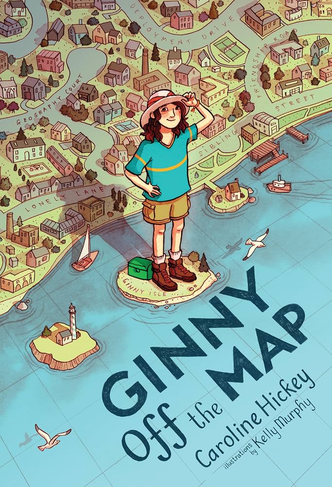
In Caroline Hickey’s Ginny Off the Map (Christy Ottaviano Books, 2025), Ginny – whose passion is geography facts – deals with such challenges as a family move, a sports star big sister, and her father’s deployment to Afghanistan by launching a neighborhood geography camp. For ages 8-12.
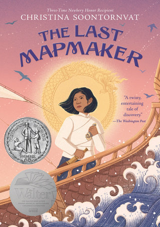
In Christina Soontornvat’s Thai-inspired The Last Mapmaker (Candlewick, 2023), 12-year-old Sai, apprentice to Paiyoon, Mangkon’s master mapmaker, joins a dangerous expedition heading out to map the fabled Sunderlands in the southern seas. It turns out that there’s far more to the expedition than Sai had expected. For ages 8-12.

In Holling C. Holling’s Paddle-to-the-Sea (Sandpiper Books, 1980), originally published in 1941, a young boy carves a small canoe and paddler, and adds the message “Please put me back in water. I am Paddle-to-the-Sea.” He then launches the little craft on the Nipigon River – and the book traces its subsequent journey through the Great Lakes, the St. Lawrence River, and the Atlantic Ocean. Tiny detailed maps cover each step of the way. For ages 9-12.
In similar design by Holling are Minn of the Mississippi, which follows the travels of a turtle through the Mississippi River Valley; and Tree in the Trail, a history of the Great Plains and the Santa Fe Trail, centered around a great cottonwood tree.
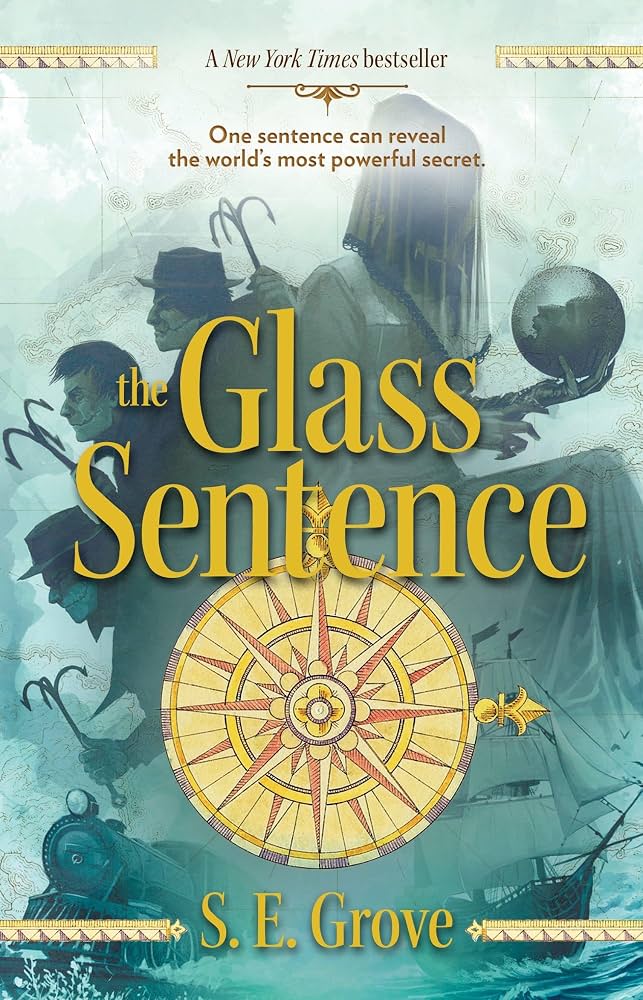
In The Glass Sentence by S.E. Grove (Viking, 2014), Sophia – who lives in Boston in 1891 – belongs to a family of explorers and cartographers who have been mapping the New World since the Great Disruption of 1799, that flung all the continents into different time periods from the distant past to the far future Sophia, after her parents never returned from an urgent mission, has been living with her Uncle Shadrack – but now Shadrack has been kidnapped and Sophia, with the help of his maps and her friend Theo, is on a dangerous quest to find him. The first of a trilogy for ages 10 and up.
Treasure Maps

Those whose kids are into pirates – and whose kids aren’t? – are probably also, willy-nilly, into maps, preferably the bloodstained kind that show where to find the chest of gold doubloons. It’s just such a map that sends young Jim Hawkins off on his grand adventure in Robert Louis Stevenson’s Treasure Island, which is just as exciting today as it was when first published in 1883.
The book is available in many editions, including Classic Starts and Great Illustrated Classics versions, with abbreviated texts for ages 7-9; and in a graphic novel version, often a good bet for reluctant readers, adapted by Wim Coleman and Pat Perrin from Capstone Press.

In Stuart J. Murphy’s Treasure Map (HarperCollins, 2004), one of the MathStart series, Matthew and friends have found a treasure map and are off to find buried treasure – with the help of some real-life map-reading skills involving scale, distance, and direction. For ages 6-8.

One of Gertrude Chandler Warner’s now much-extended Boxcar Children series, in The Mystery of the Pirate’s Map (Albert Whitman & Company, 1999), Benny finds a bottle on the beach containing a pirate’s treasure map. Chapter book for ages 6-10.

In Jen Bryant’s Kaleidoscope Eyes (Yearling, 2010), Lyza finds a packet of maps in her grandfather’s dusty attic with an envelope reading “For Lyza ONLY.” The maps reveal possible locations of 17th-century pirate Captain Kidd’s buried treasure. For ages 8-12.

In Michelle Chalfoun’s The Treasure of Maria Mamoun (Farrar, Straus & Giroux, 2016), Maria is bullied in the Bronx, so her mother takes a job on Martha’s Vineyard, as nurse to Mr. Ironwell, an elderly film director. There Maria makes friends with Paolo, the son of the housekeeper, discovers a treasure map, and sets out to solve the mystery of Captain Jean Murdefer. For ages 9-12.

Find out how to make your own treasure maps at https://www.youtube.com/watch?v=hGEbFLkHGiQ.

Quilts as Maps

How about quilts as maps? Bettye Stroud’s The Patchwork Path (Candlewick, 2007) is the picture-book tale of a little girl and her father who escape from slavery with the help of a map made with coded symbols on a patchwork quilt. For ages 5-8.

In Deborah Hopkinson’s Sweet Clara and the Freedom Quilt; Dragonfly Books, 1995), when Clara, a young slave and seamstress, learns of the Underground Railroad, she fashions a quilt that serves as a secret map for escaping slaves. For ages 5-8.

Jacqueline Woodson’s Show Way (G.P. Putnam’s Sons, 2005) is the quilt-based history of an African-American family, beginning with a “Show Way” – a quilt stitched with clues showing the path north to freedom. For ages 5-10.
From National Geographic, see Did Quilts Hold Codes to the Underground Railroad?
For more information and freedom-quilt-related projects, see Freedom Quilts at http://www.mathwire.com/quilts/quilts.html.

Make a U.S. Map Quilt. A family project for brave quilters.
Around the World
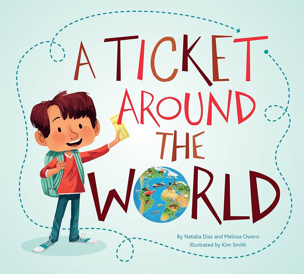
By Natalia Diaz and Melissa Owens, in A Ticket Around the World (Owlkids, 2022) readers join a young boy in a tour of 13 countries and six continents, with maps and chatty introductions to each country’s culture, food, geography, wildlife, landmarks, and more. For ages 5-8.

In Jules Verne’s classic Around the World in 80 Days, first published in 1872, Phileas Fogg and his French valet Passepartout set out on a whirlwind circumnavigation of the world on a bet. The book is available in many editions, including versions from Great Illustrated Classics (1989) and Classic Starts (2007) with simplified texts for ages 7-9, and graphic novel adaptations. (Follow the action on the map!)
The 1956 movie version, rated G, stars David Niven as Phileas Fogg.
Phileas Fogg wasn’t the only one. In 1889, intrepid American journalist Nellie Bly made a round-the-world trip in an attempt to beat Mr. Fogg’s record – which she did, finishing the journey in just 72 days. From the Smithsonian, read about Nellie Bly’s Record-Breaking Trip at https://www.smithsonianmag.com/smart-news/nellie-blys-record-breaking-trip-around-world-was-to-her-surprise-race-180957910/.

By Ellen Mahoney, Nellie Bly and Investigative Journalism for Kids (Chicago Review Press, 2015) covers the life and times of Nellie Bly, who introduced a form of journalism that came to be known as “muckraking” – investigations that exposed social, political, and economic problems. (Nellie, for example, faked insanity in order to report on the horrific conditions in American mental asylums.) The book includes a timeline, period photos and prints, capsule biographies, and 21 hands-on activities. For ages 9-14.

Matthew Goodman’s Eighty Days (Ballantine Books, 2014) is the story of Nellie Bly’s record-breaking race around the world in 1889. Though she didn’t know it at the time, she was also racing against a rival journalist, Elizabeth Bisland. An exciting read for teens and adults.
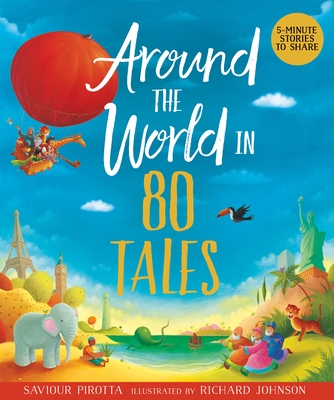
Saviour Pirotta’s Around the World in 80 Tales (Kingfisher, 2023) is a beautifully illustrated collection of short stories from 80 different countries, categorized by continent – including tales of talking bears, rainbow snakes, dragons, mermaids, crocodiles, kiwis, and much more. For ages 5-9.

From Lonely Planet Kids, Around the World in 50 Ways (2018) is a geography version of a choose-your-own adventure book as kids travel the world choosing their own routes and means of transportation, from sleds to steamboats to hot-air balloons. For ages 9-12.

In Marjorie Priceman’s How to Make an Apple Pie and See the World (Dragonfly, 1996), a would-be baker travels the globe collecting the ingredients for an apple pie – to Italy for flour, France for eggs, England for milk, Sri Lanka for cinnamon. Pie recipe included. For ages 3-7.
In the same format, see How to Make a Cherry Pie and See the U.S.A. (2013).

By Marilyn Singer, On the Same Day in March (HarperFestival, 2001) is a round-the-world tour of the world’s weather. On the same day in March it’s icy cold in the Arctic, sunny in Barbadoes, windy in Australia. For ages 4-8.

Dorling Kindersley’s Children Just Like Me (2016), illustrated with wonderful color photos, highlights the lives of kids from 36 different countries around the world. For ages 7-11.

By Jamie Aramini, Eat Your Way Around the World (Geography Matters, 2008) has dozens of kid-friendly recipes, categorized by continent and country. Appropriate for a range of ages.

Read your way around the world! Angela McAllister’s A Year Full of Stories (Frances Lincoln Books, 2016), with wonderful illustrations by Christopher Corr, is a collection of 52 stories from around the world, grouped by month. January, for example, features “Father Frost” from Russia, “The Magic Porridge Pot” from Germany, and “King of the Forest” from China. For ages 8-12.

The ultimate family field trip. John Higham’s 360 Degrees Longitude (Prospecta Press, 2012) is the story of how he, his wife, and their two kids, ages eight and eleven, spent a year traveling the world, crossing 24 time zones and visiting 28 countries. For teens and adults.
Geography and Art

Sara Fanelli’s imaginative My Map Book (HarperCollins, 2019), illustrated with wonderful abstract mixed-media artwork, shows that maps can be used in many creative ways – to make a “Map of My Family,” for example, or a map of my day, heart, dog, and tummy. Wonderful project possibilities. For ages 4-8.

By Sharon Jeffus and Jamie Aramini, Geography Through Art (Geography Matters, 2008) is a great collection of international art projects, categorized by continent and country, along with background information and supplemental resource lists. Sample projects include everything from a papier-mache globe and a Pangaea puzzle to Ghanan kente cloth, Japanese fish prints, Brazilian rainsticks, and much more. Adaptable for a wide range of ages.

By Jill K. Berry and Linden McNeilly, Map Art Lab (Quarry Books, 2014) is a collection of 52 creative and artistic map-related activities, categorized under Map Basics, Map Magic, Flat Maps, Mixed Media Maps, Personal Maps, Cartographic Projects, and Inspired by Artists. For all ages.
Poetry and Geography

Edited by Lee Bennett Hopkins, Got Geography! (Greenwillow, 2006) is an illustrated collection of 16 poems with geography themes: subjects include mapping the world, the equator, and the compass. For ages 7 and up.

By J. Patrick Lewis, A World of Wonders (Dial, 2002) is an illustrated collection of 26 quirky geography and travel poems, filled with fascinating facts. Included are an acrostic poem about Columbus, a concrete poem called “The Italian Boot,” and “Is the Yellow Sea Yellow?” which begins “Is the Yellow Sea yellow?/Is the Red Sea red?/Is the Black Sea black?/Is the Dead Sea dead?” For ages 5-9.

Compiled by Lee Bennett Hopkins, My America: A Poetry Atlas of the United States (Simon & Schuster, 2000) is a collection of 50 illustrated poems, grouped by geographical region, by such poets as Carl Sandburg, Langston Hughes, Gary Snyder, X.J. Kennedy, and many more. For ages 8 and up.

Selected by Naomi Shihab Nye, The Same Sky (Aladdin, 1996) is a collection of 125 poems from 68 different countries around the world. For ages 12 and up.
See Elizabeth Bishop’s poem The Map.
More on Maps

Tim Marshall’s Prisoners of Geography (Scribner, 2016) uses ten maps of crucial world regions to explain geopolitics. (Why is Putin so obsessed with Crimea? Why will Europe never be united?) For teens and adults.
For ages 8 and up, see Marshall’s Prisoners of Geography: Our World Explained in 12 Simple Maps (Elliott & Thompson, 2019).

Simon Garfield’s On the Map (Avery, 2013) is a fascinating history of maps from their earliest beginnings to the present day. Chapter titles include “Venice, China and a Trip to the Moon,” “The World in a Book,” “Cholera and the Map that Stopped it,” “X Marks the Spot: Treasure Island,” and “The Worst Journey in the World to the Last Place to Be Mapped.” A great read for teens and adults.

Ken Jennings’s Maphead (Scribner, 2012) is an addictive tour of the world of map culture, covering everything from geocaching and road atlas rallies to fantasy maps, the Google Earth programmers, and the London Map Fair. For teens and adults.

Simon Winchester’s The Map That Changed the World (Harper Perennial, 2009) is the story of William Smith, a canal digger, who created the world’s first geological map – a full-color hand-painted masterpiece, eight feet tall and six feet wide - and invented the science of stratigraphy. A tie-in to geology. For teens and adults.

Steven Johnson’s The Ghost Map (Riverhead Books, 2007) is the story of physician John Snow – sometimes called the father of epidemiology – who discovered the source of London’s cholera epidemic of 1854 by means of a map, For teens and adults.

By John Noble Wilford, The Mapmakers (Vintage Books, 2001) is a history of cartography from antiquity to the space age, filled with amazing details. For teens and adults.

Jeremy Brotton’s A History of the World in Twelve Maps (Penguin, 2013) runs from Ptolemy to Google Earth in twelve cartographical jumps. For teens and adults.

True crime – with maps. Miles Harvey’s The Island of Lost Maps (Random House, 2000) is the story Gilbert Bland, America’s greatest map thief. For teens and adults.